

The Job of a Land Surveyor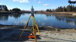
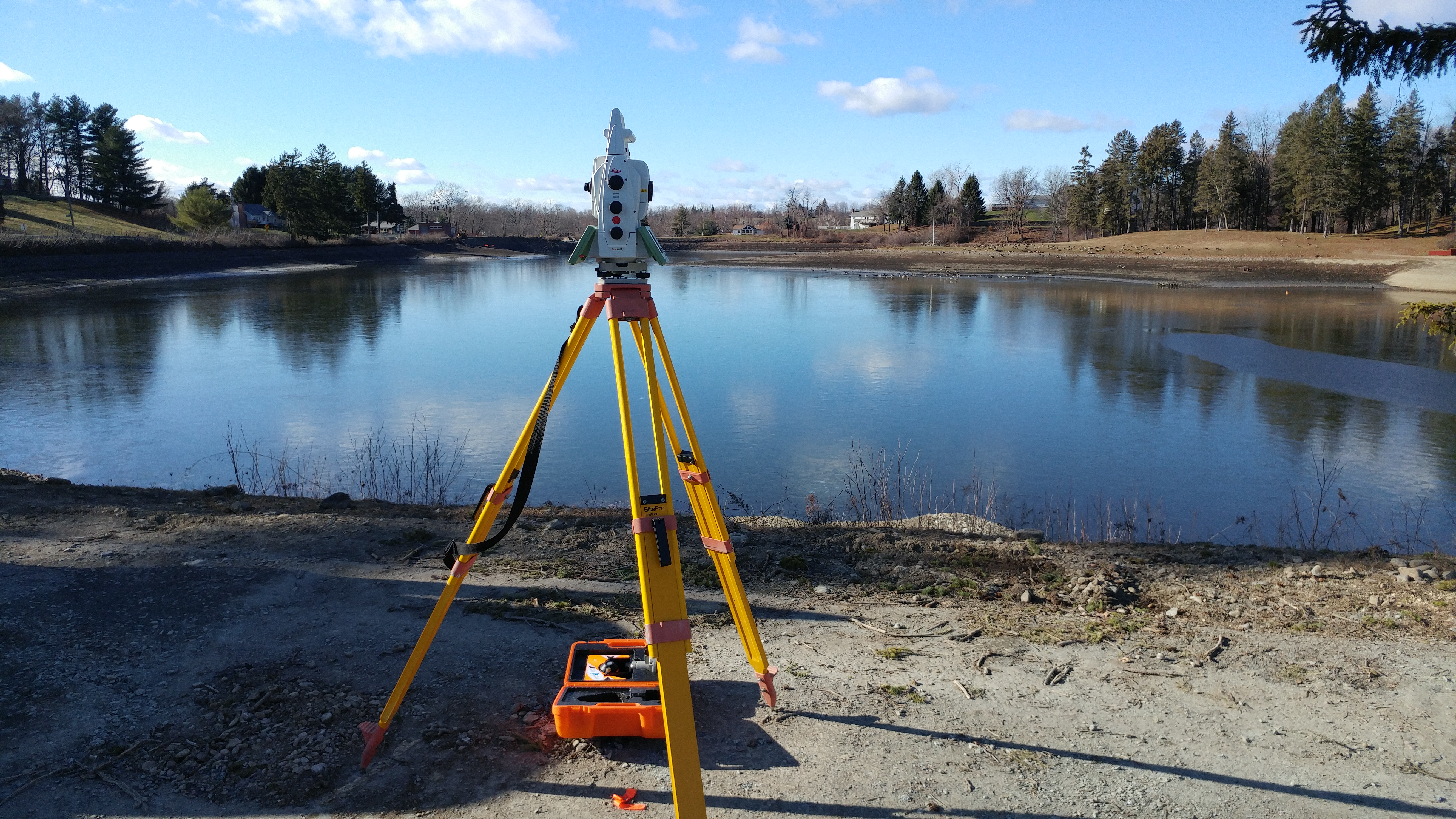
The primary role of a land surveyor is to measure properties and determine their boundaries. Boundary information is important to determine what you do, and do not own — as well as the location of buildings, roadways, and to prevent property disputes. This is done using trigonometry, geometry, and other mathematical calculations, as well as the use of specialized survey equipment like total stations and GPS.
For example, I am building a garage on my property. I want that garage to be located as close as legally possible to the boundary line of my property, without angering my neighbors. I hired a land surveyor to come in and measure and mark my boundaries. Then the surveyor researched the setback and zoning requirements of my municipality, and marked where I can legally build my garage.
While all of that sounds simple, the steps involved in land surveying are:
- Measure the distance and angles above and below the surface of the land
- Measure the contours (topography) of the land
- Research land records including previous titles and survey records
- Walk around the property to locate any previous boundary markers
- Confirm the accuracy of data, and present the findings to me (the client) and to the municipality
This is what our land surveyors do on a larger scale. We work with our engineers, architects and planners to develop a comprehensive design for residential, municipal and commercial projects. Our land surveyors have helped municipalities determine their boundary lines to prevent disputes, staked out new rail switches and rail road lines, helped define state land boundaries, and more.
In today’s digital environment, land surveyors use GPS (global positioning systems) and GIS (Geographic Information Systems) to create detailed maps.
Because of what land surveyors do you can:
- Determine the depth required for a foundation
- Determine the precise location of roads
- Determine the location of buildings
- Determine boundaries for waterways